In the south-west of Ireland we have very clear indications that the mysterious elders were briefly active there – evidenced by mining, stone circles and historical records.
Our starting point is the Ross Island copper mine. Note that it is a peninsula in a lake, rather than an island off the coast of Ireland. Patrick Fresne writes:
Nearly four and a half millennia ago, Ireland jumped from the stone-age to the metal-age in less than two centuries.
…The pioneering copper-miners in the island appear to have exhibited an impressive level of expertise, seemingly capable of identifying the most promising copper deposits, washing and concentrating the ore, and controlling the roasting and smelting process in a competent manner.
The copper ore unearthed at the site was naturally rich in arsenic, which may have acted to strengthen the end-product, raising the possibility that these pioneers were capable of identifying this signature characteristic of the local ore.
This high level of expertise, as well as the speed of the transition from stone to metal, suggests that outsider influence had no small hand to play in the development of the metal industry in ancient Ireland, as there is little evidence for copper-working in Ireland’s Neolithic societies.
Of course my first instinct is to look for a stone circle, as I have hypothesised that they were sometimes used as a contract in stone with the local people. According to The Megalithic European, the key areas of the Republic of Ireland’s mounds and stone circles are in the very south-west and the mid-eastern coast between Dublin and Belfast. According to my reasoning, the first stone circles of the south-west would have been created by the elders, and the rest were either inspired by the first ones, or also built by the elders. Unfortunately none of the circles mentioned here have been properly dated…
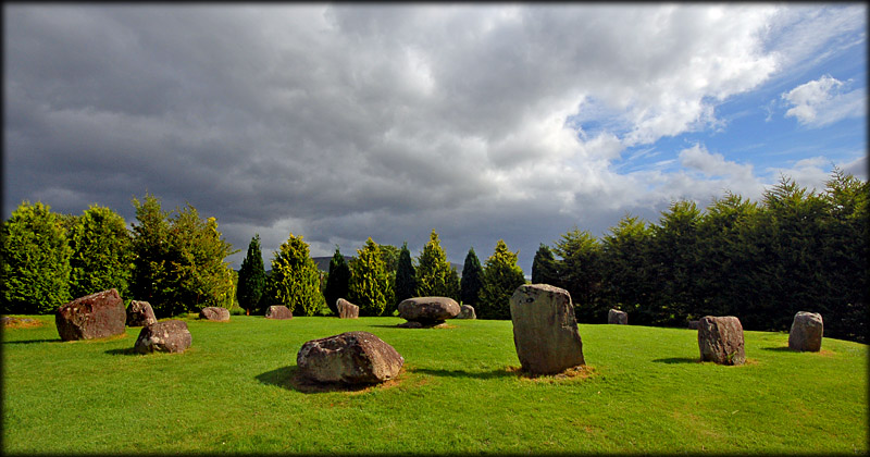
The town right next to Ross Island is Killarney and it has a stone circle called Lissyvigeen. It is very small, being only 6 metres in diameter, but has two portal stones that are big (seven feet tall).
The circle is surrounded by a 1 metre high henge with entrances on the northeast and southwest. The henge has a decent diameter of 20m.
Possibly, when we have a catalog of such circles (and ports and mines, suggesting that a deal was struck with locals), we might see some commonalities – but that will be hard because stone circles tend to be very similar to each other. But potentially the henge is meaningful, as circles with henges are less common, anywhere. (pic from The Modern Antiquarian)

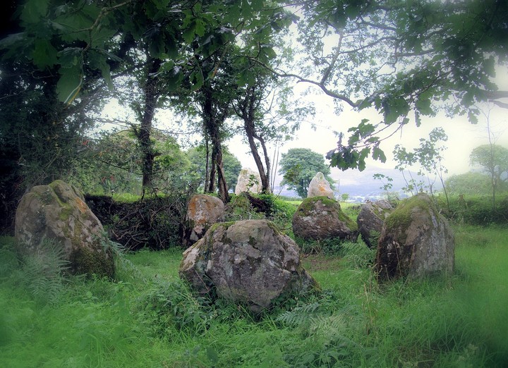
All the other nearby stone circles are south of Killarney, and one is at the end of an inlet that looks like a perfect port for exporting the copper from – the stone circle of Kenmare (pic from Megalithic Ireland).

Through Pliny the Elder we know of Himilco, and Wikipedia says this of him:
Himilco sailed north along the Atlantic coast from the Iberian Peninsula to the British Isles. He traveled to northwestern France, as well as the territory of the Oestrimini tribe living in Portugal, likely in order to trade for tin (to be used for making bronze) and other precious metals. Records of the voyages of Himilco also mention the islands of Albion and Ierne. Avienius asserts that the outward journey to the Oestriminis took the Carthaginians four months. Himilco was not (according to Avienius) the first to sail the northern Atlantic Ocean; according to Avienius, Himilco followed the trade route used by the Tartessians of southern Iberia.
Ierne is Ireland. Meanwhile The Ancient and Modern History of the Maritime Ports of Ireland (page 507) tells us:
bay or river of Kenmare, so much frequented by the ancients, and which is navigable at high water to the town of Kenmare, twenty-five miles from the sea.
So that’s the beginning of a side quest, to associate foreigners arriving for the purpose of mining, with concurrent stone circles that suggest a “written in stone” pact with the locals.
